
Identify Risks While Improving Safety & Lowering Costs
Unmanned Systems
Industrial UAS Solutions
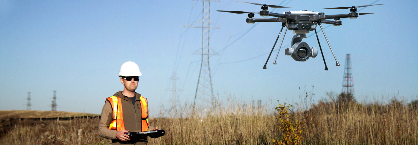
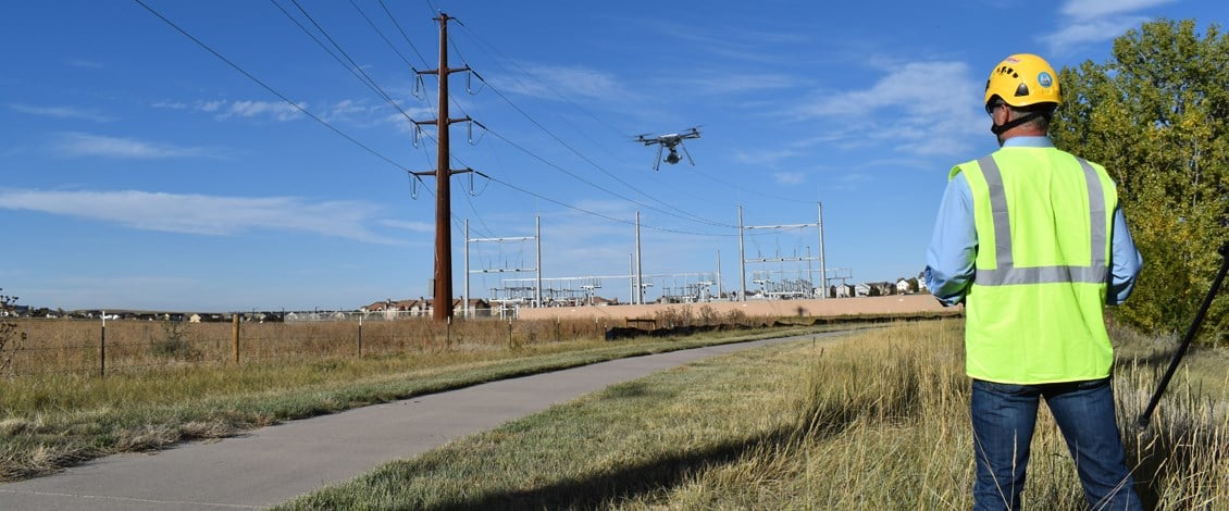
FLIR has been working with utilities across North America to develop an efficient, end-to-end drone inspection solution that rapidly delivers detailed condition reports by collecting, processing and analyzing high resolution photographic data that is then integrated with your existing EAM systems.

A more flexible alternative to traditional solutions
With SkyRanger’s ability to fly pre-planned flight paths, operators easily monitor key infrastructure assets from substations to wind or solar farms to flare-stacks and bridges.

HD Zoom 30 – Long-Range Zoom Imaging Payload

Improve safety while lowering costs
The SkyRanger R60 can provide security surveillance to deter vandalism on remote gear and make it safer for utility workers to climb poles and towers. The efficiency of the SkyRanger enables utilities to increase their routine inspections and guarantee safety for employees.


Streamlined aerial imagery
FLIR UAS provide an integrated end-to-end surveying and GIS (Geographical Information System) solution. The immediate and reliable collection of high quality aerial imagery and a variety of image processing options give everyday users and GIS specialists the ability to gather aerial imagery faster, more accurately and more cost-effectively than satellites, manned aircraft or ground-based measurements. The data and imagery collected enables users to create high resolution 2D orthomosaics and maps, 3D and digital surface models (DSM), and other GIS datasets.
